Peach State Hamburger Run N817AC [GA2- KWRB 0.8 hrs/106.5 TT]
Two pilots from the Aero Club invited me to fly to lunch with them Saturday. Having not flown since December 23, 2010, I jumped at the offer.
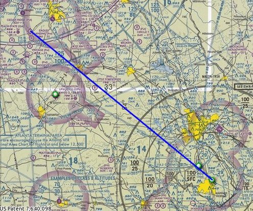
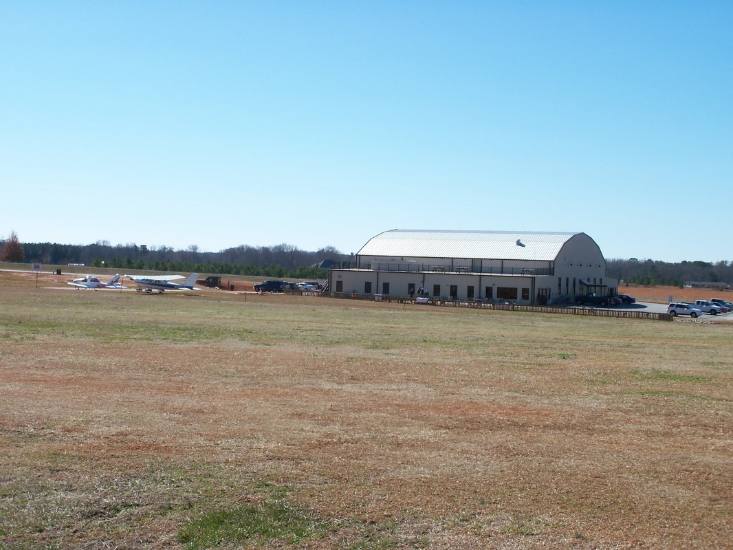
The plan was to fly to Peach State Airport (GA2) near Williamson, Georgia. I had never been to Peach State, but had heard a lot about it. Just outside of Atlanta, under the veil of Atlanta’s Class Bravo Airspace, sits the little throw back in time, Candler Field. This is a 2400 foot grass strip, with trees at each end, and a hump in the middle. Our planned flight was direct KWRB to GA2. The blue line on the sectional above is our planned course.
The plan was to fly to Peach State Airport (GA2) near Williamson, Georgia. I had never been to Peach State, but had heard a lot about it. Just outside of Atlanta, under the veil of Atlanta’s Class Bravo Airspace, sits the little throw back in time, Candler Field. This is a 2400 foot grass strip, with trees at each end, and a hump in the middle. Our planned flight was direct KWRB to GA2. The blue line on the sectional above is our planned course.
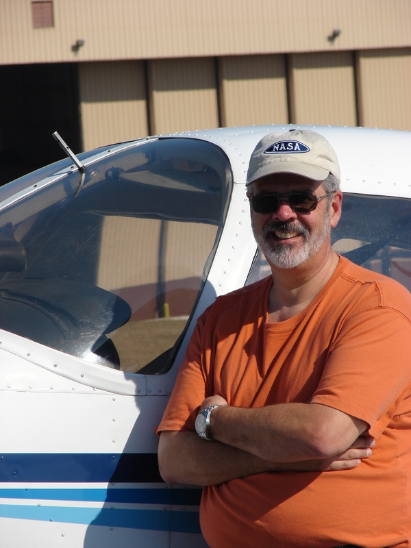
John is a 70+ year young student pilot. Lewayne is his flight instructor (as he was mine). The plan was for John to do the flying. I was just along for the ride, but John offered to fly out and let me fly back. I did not want to butt myself into the middle of John’s lesson, but Lewayne assured me this was a lunch run and some air time, not a lesson – so I accepted the offer and flew the return leg.
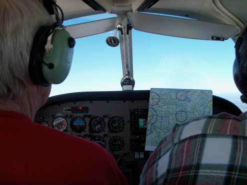
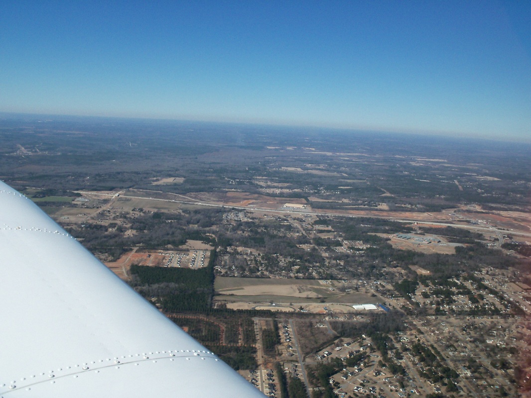
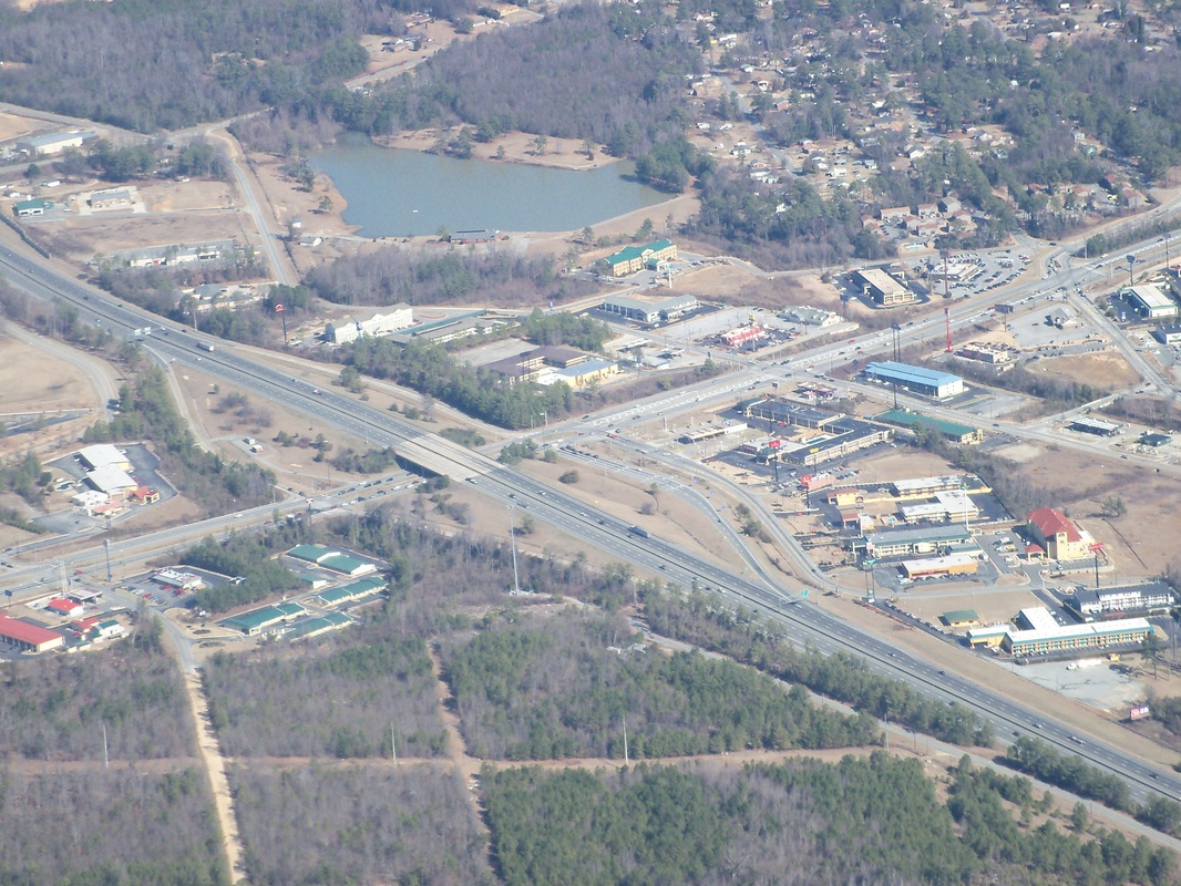
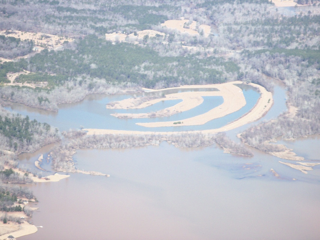
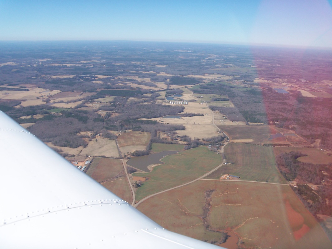
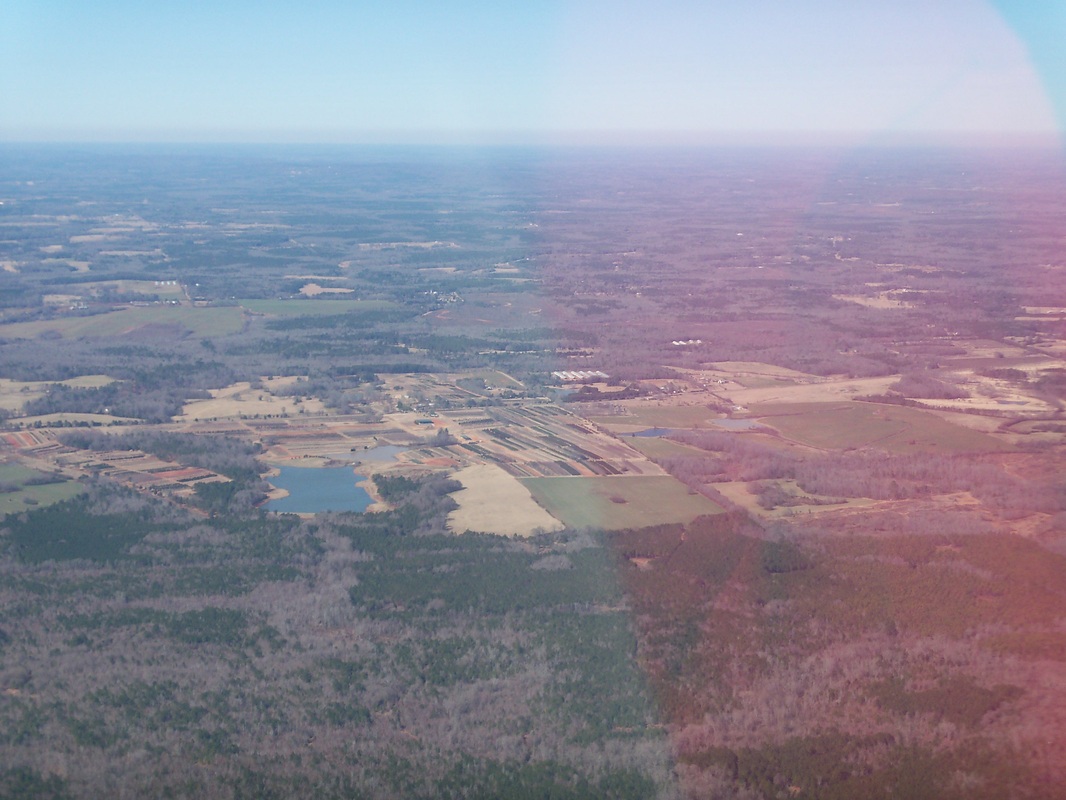
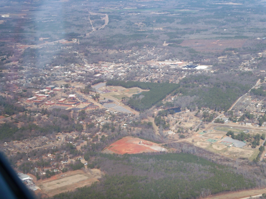
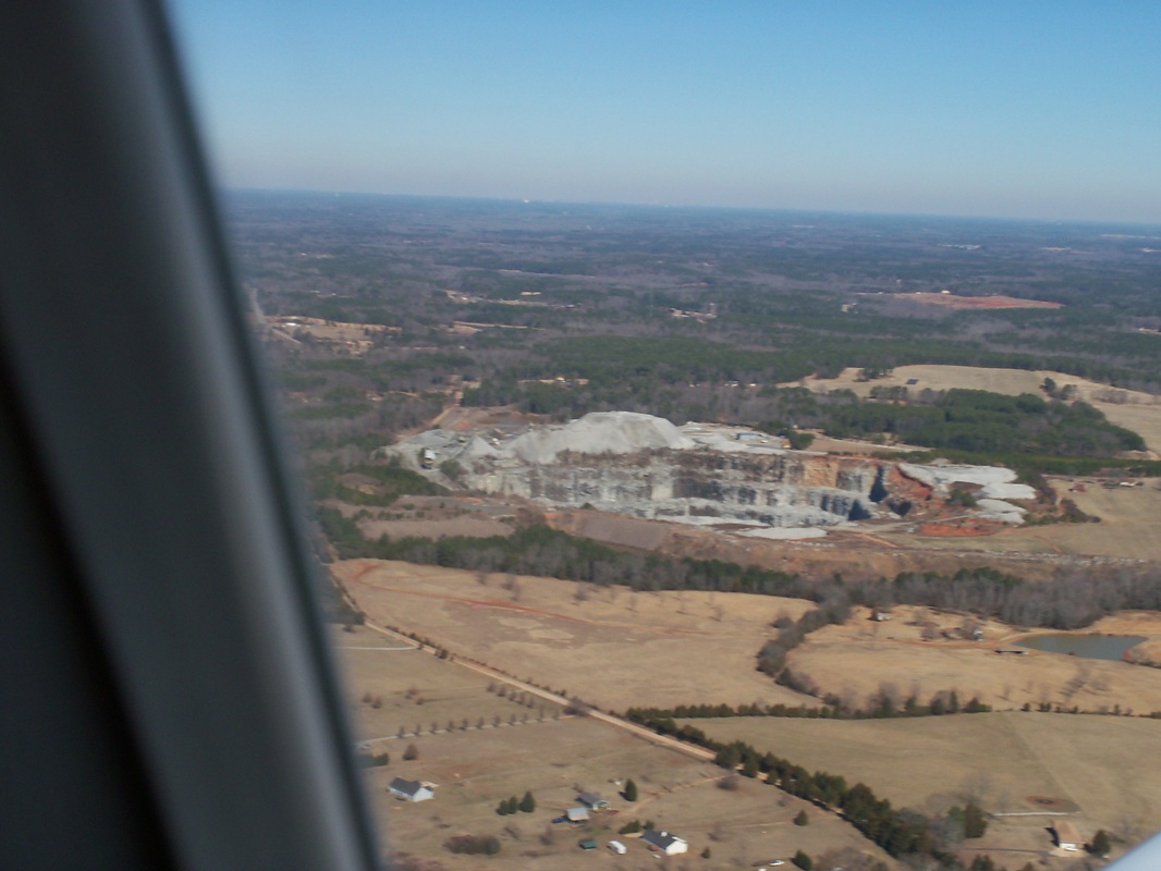
On the ride out, I rode in the rear seat (could have sold tickets to see me getting in there). John did a nice job, needles centered, altitude solid as a rock. I had some time to enjoy the view and snap a few pictures. Also, the last couple of times I flew with my handheld GPS, it locked up on me during the flight. Not a real issue as far a flying goes because I fly with the sectional, navigation log, and my watch. I use the GPS for situational awareness. Over the past month I had researched the problem and performed the recommended fix. Since I was not flying, the trip out was a good time for an operational check.
On the ride out, I rode in the rear seat (could have sold tickets to see me getting in there). John did a nice job, needles centered, altitude solid as a rock. I had some time to enjoy the view and snap a few pictures. Also, the last couple of times I flew with my handheld GPS, it locked up on me during the flight. Not a real issue as far a flying goes because I fly with the sectional, navigation log, and my watch. I use the GPS for situational awareness. Over the past month I had researched the problem and performed the recommended fix. Since I was not flying, the trip out was a good time for an operational check.
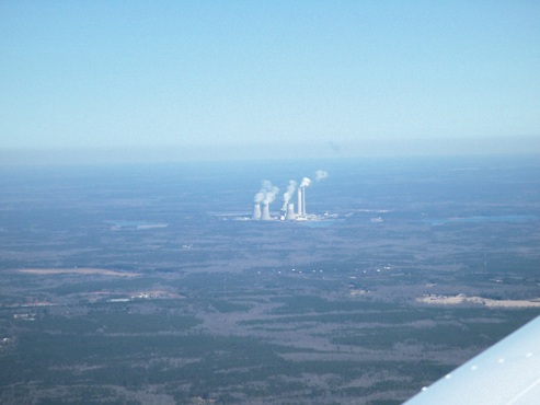
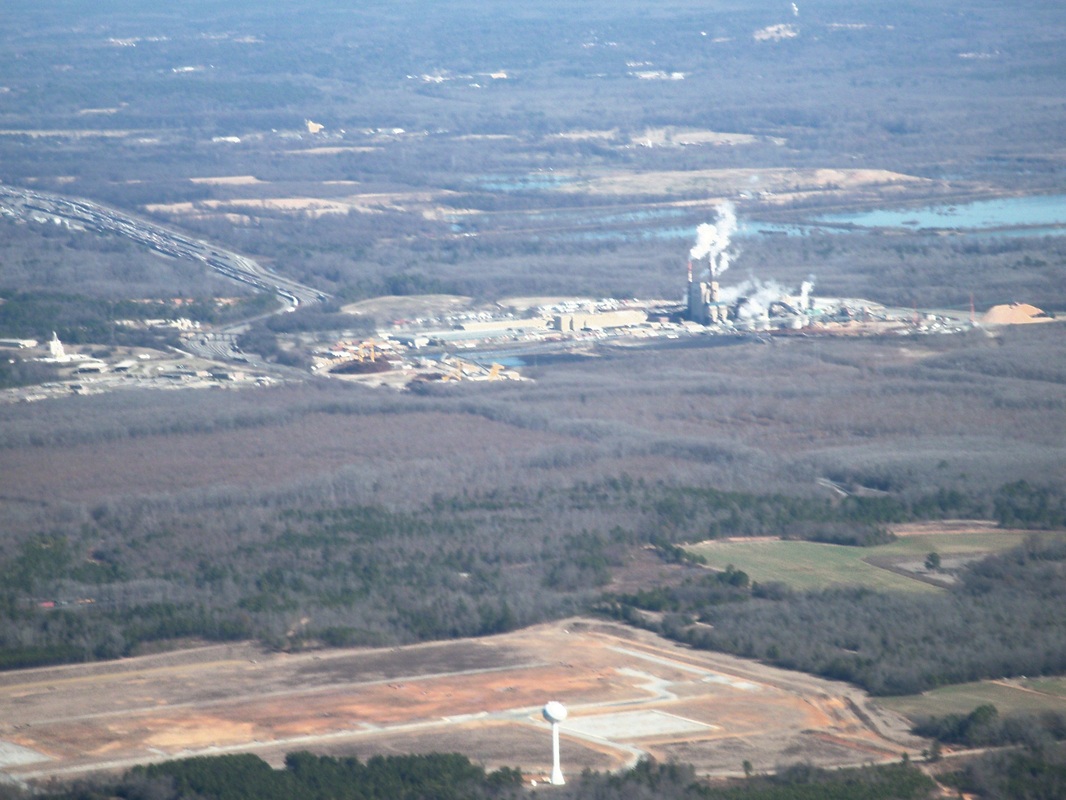
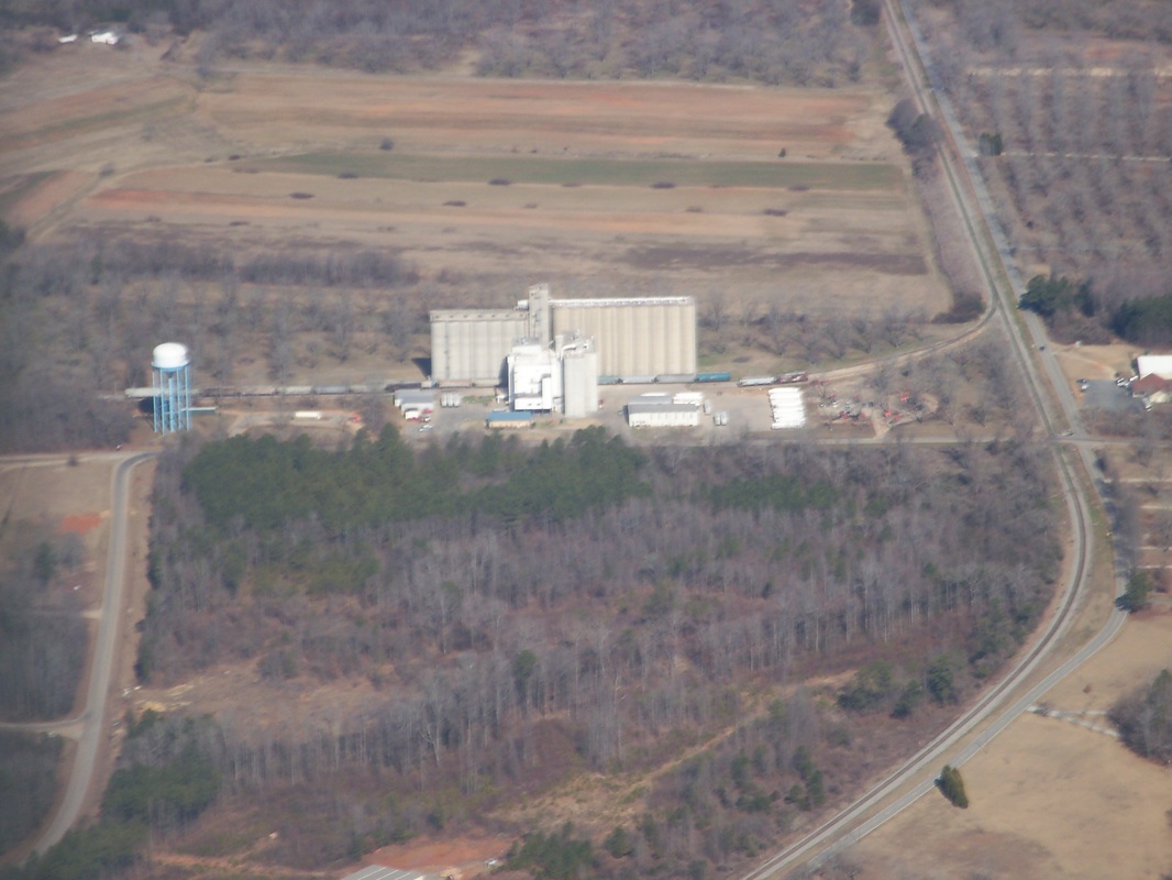
Our route passed about 20 miles west of Georgia Power’s Plant Scherer on Lake Juliette, Ga. Plant Scherer is the fifth largest electric power generating facility in the United States. (http://en.wikipedia.org/wiki/Plant_Scherer).
Soon we were descending into Peach State. There were already several planes within 10 miles of the airport making their inbound calls on the radio. This is a busy place on Saturday and Sunday as the on field restaurant is well known to locals and pilots alike. Upon first site of the airfield, my thoughts were “my, that is short!”
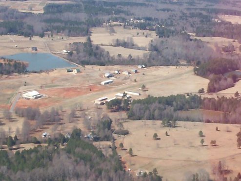
Above, entering the upwind leg for runway 31. Note the trees and road at the near end of the runway. Also seen are the “hump” and the downhill run to the far end of the runway.
Above, entering the upwind leg for runway 31. Note the trees and road at the near end of the runway. Also seen are the “hump” and the downhill run to the far end of the runway.
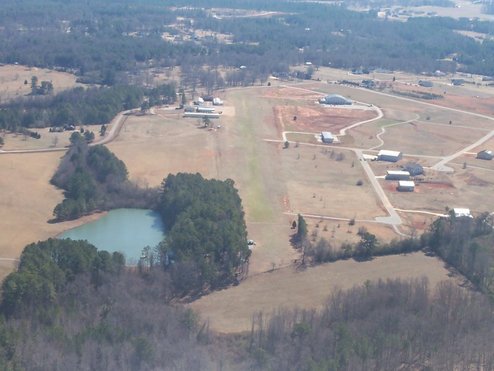
Above, left cross-wind for Runway 31 (looking up-hill, note the road and trees across the far end, and yes that is a fence across the near end of the runway).
It was interesting to watch as pilots negotiated the descent over the trees to get down on the flat before the hump, and definitely before the down hill run. You see, after passing the hump in the field, the runway falls away from you as you are trying to get the aircraft to settle onto the runway. You risk running out of airspeed too high above the ground which is never a pretty landing.
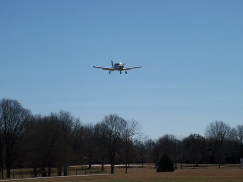
Some aircraft (like us) approached high and dropped to the runway as we cleared the trees and road.
Some aircraft (like us) approached high and dropped to the runway as we cleared the trees and road.
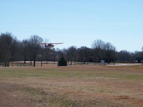
There were a few, like this Decathalon, whose pilots coaxed the aircraft into a forward slip as they crossed the trees, allowing them to use nearly all of the runway. That little plane was descending like an anvil, but flared into a nice three-point landing.
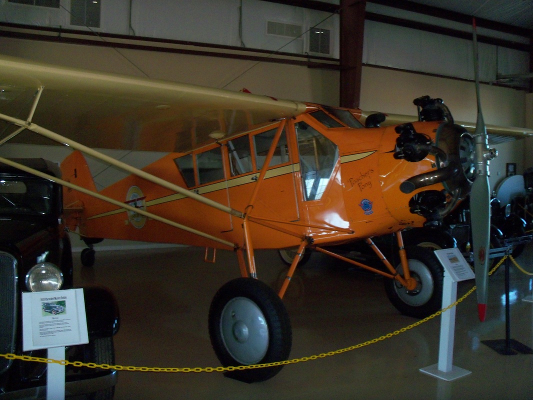
I counted about 15 aircraft landing in the 1.5 hours we were there, including a T6-Texan and a Twin Beech Barron.
When it came time to leave, I climbed in the left seat and began to analyze the situation. I have not flown in 6 weeks. Here I am on an unfamiliar grass strip, 8 knot cross-wind, sloping runway, and an aircraft within 100 lbs of gross weight. No pressure. My instructor always told me (and repeated today) “Know your equipment, then trust your equipment”. I have practiced Soft Field take-offs (even from turf), and I have practiced Short-Field take-offs, but I have never done a Short-Soft-Field take-off with a very real obstacle 2400 feet away. But that is what we did, a Soft-Field roll, followed by a Short-field climb-out. From the aircraft performance charts I knew I could clear a 50 tree in 1650 feet. I had 2400 feet to clear a fence, then some trees. So I had about 800 feet of “cushion”. I used every bit of 1000 feet to get airborne, but I waited for the airspeed to build, keeping the nose light, and the up-wind wing down. At 55 knots N817AC took wing and clawed its way into the air. We used about 2/3 of the runway before we had the trees cleared, but we easily cleared the fence and trees at the departure end, although those tree tops sure looked close.
The flight home was short thanks to a 20 knot tailwind. We contacted Atlanta Approach about 25 miles north of Robins and were cleared into the Macon Terminal Radar Service Area (TRSA). We over flew Middle Georgia Regional Airport (KMCN) at 3500 feet and began a fairly rapid descent into the left downwind leg for Robins runway 33. With the tailwind and the descent, I saw a GPS ground speed of 136 knots. I believe the fastest I have experienced to date in a Warrior.
It was a beautiful day to be flying. It sure felt good to be back in the air.
 RSS Feed